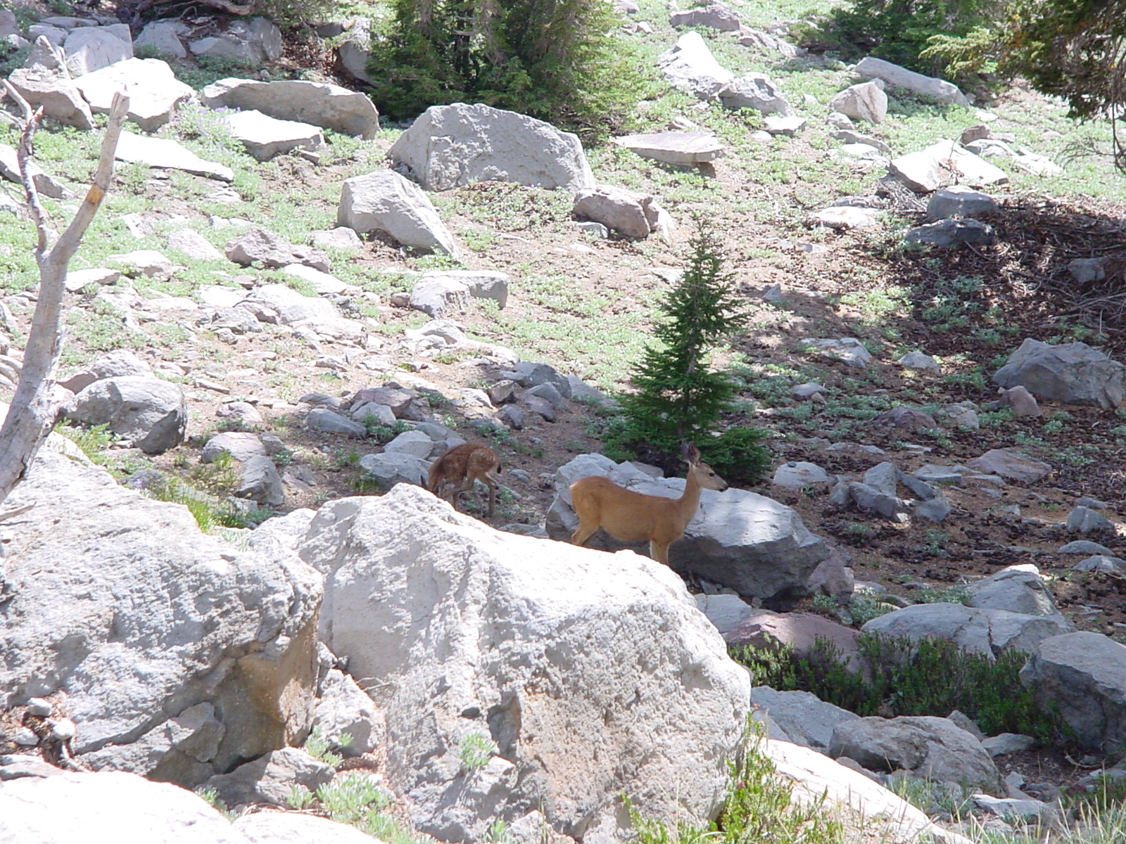
Deer near Bumpass Hell in Lassen NP
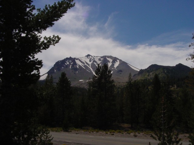
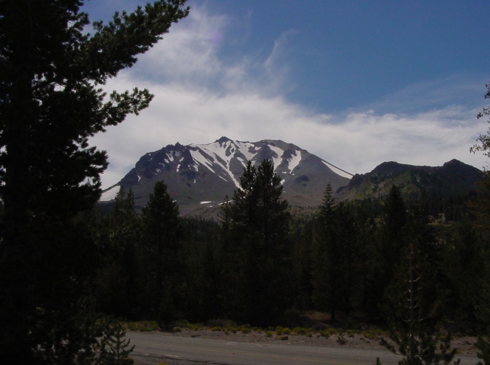
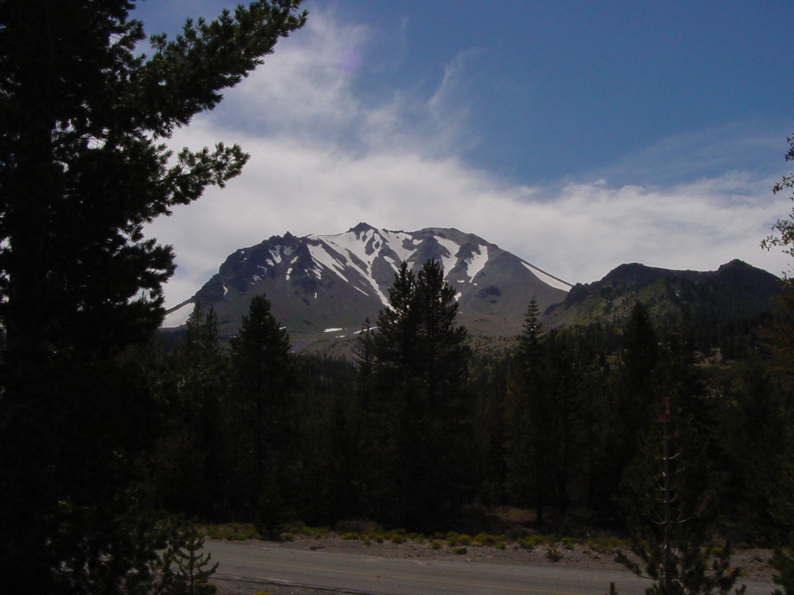
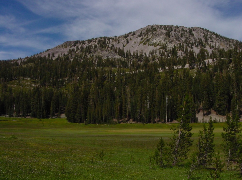
View of Lassen Peak with snow in early September
Meadow in Lassen NP
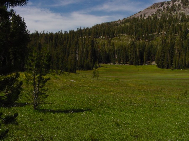
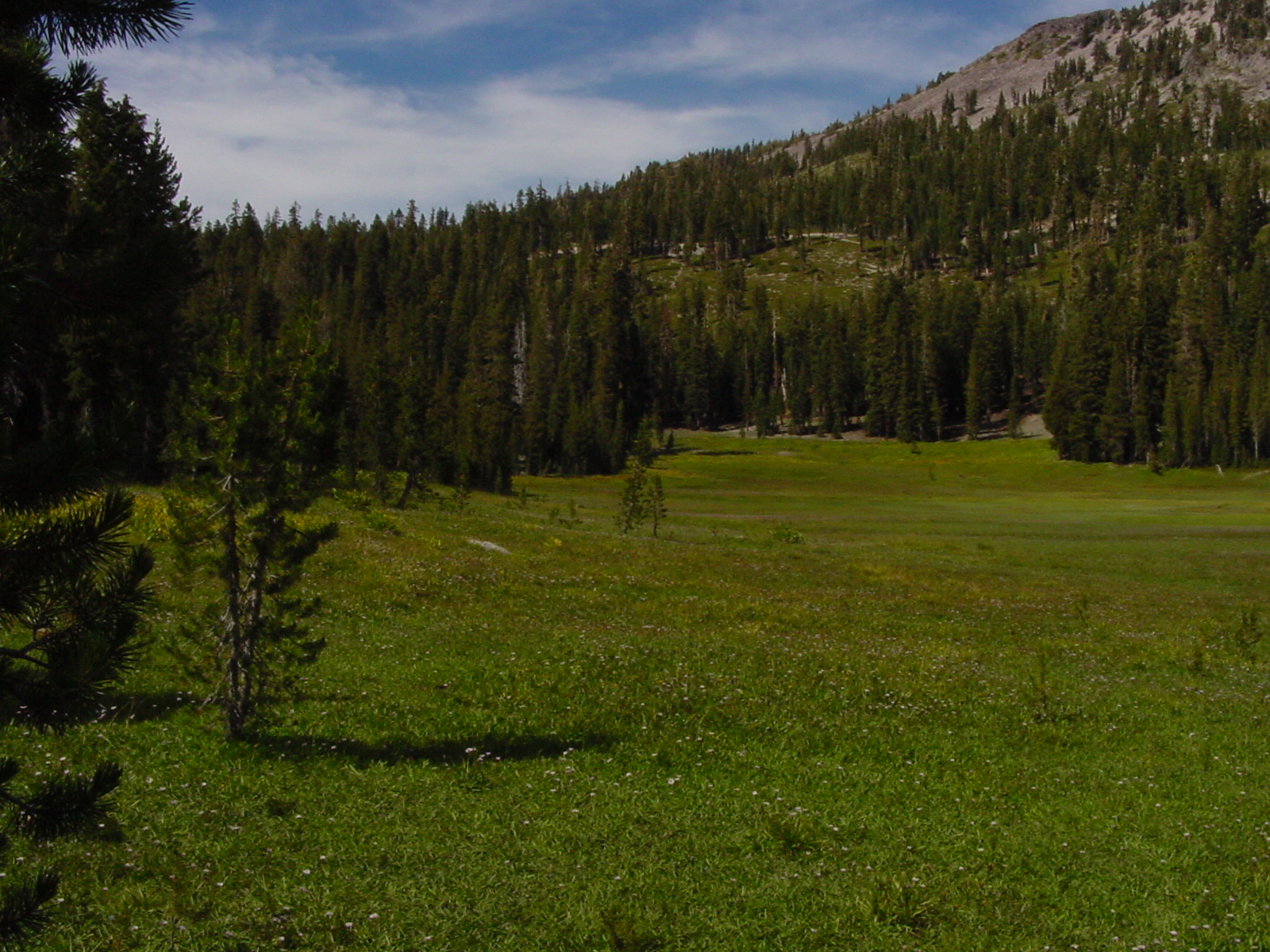
Another picture of meadow
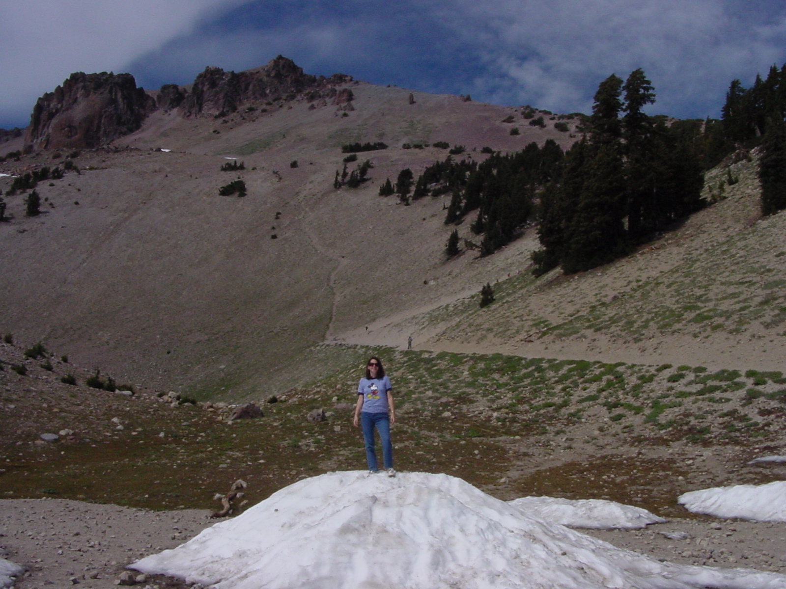
Snowpile in front of trail to peak
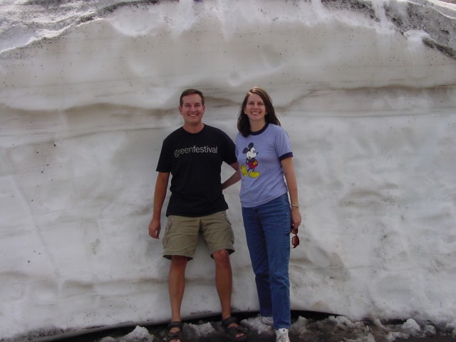
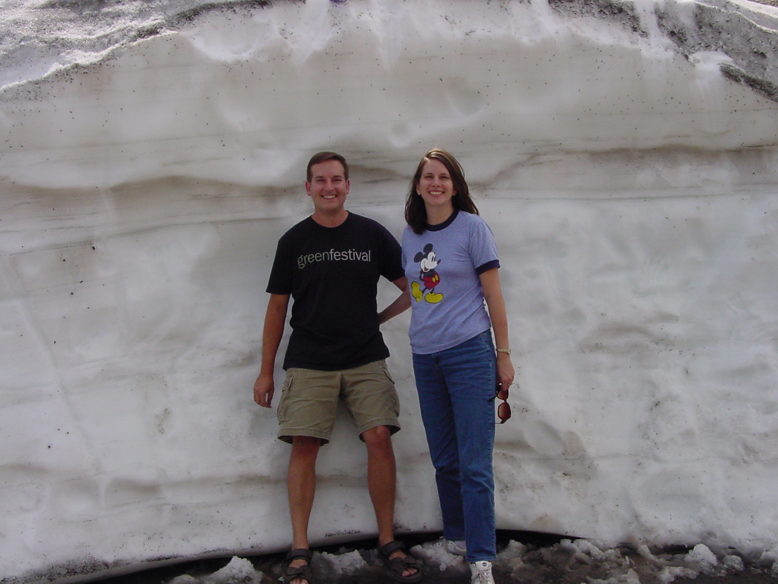
Big snowpile near trailhead
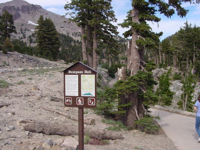
Trail to Bumpass Hell, in Lassen NP
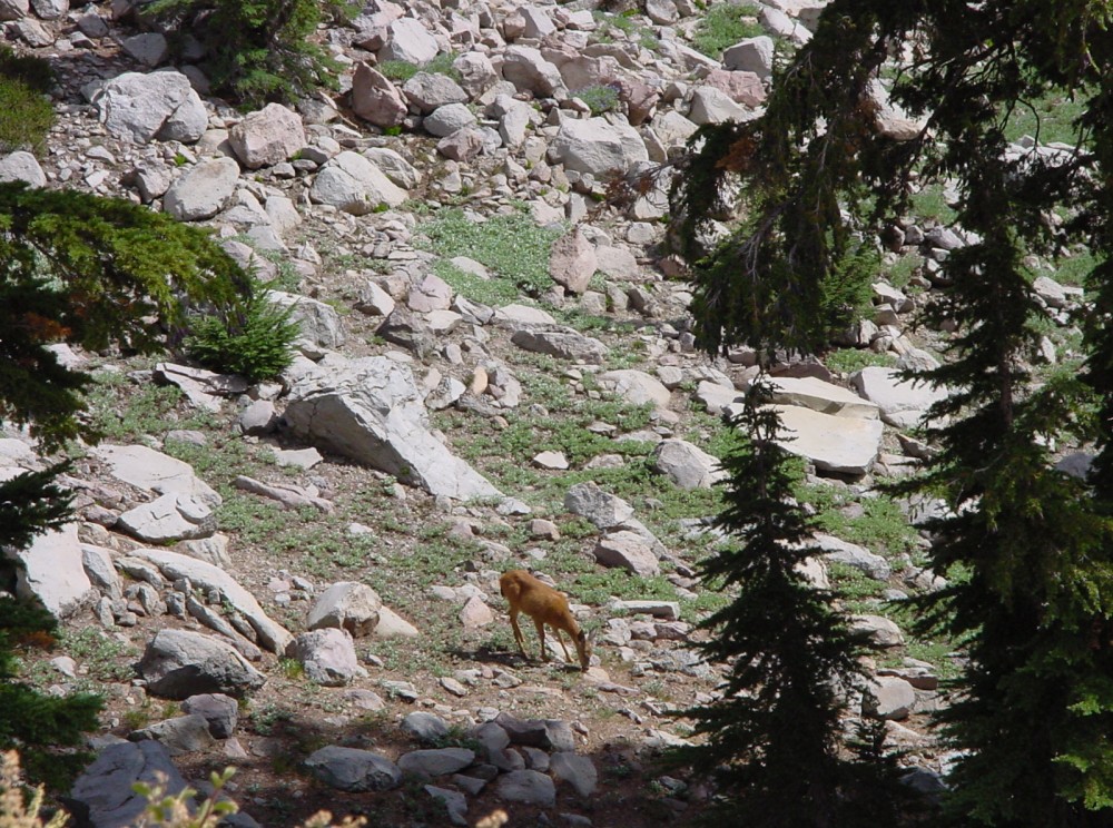
More deer along trail
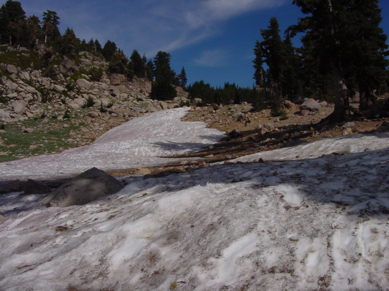
Snow along trail
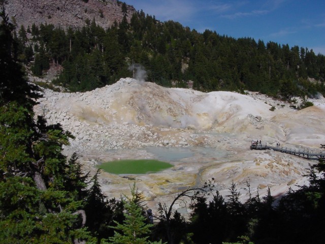
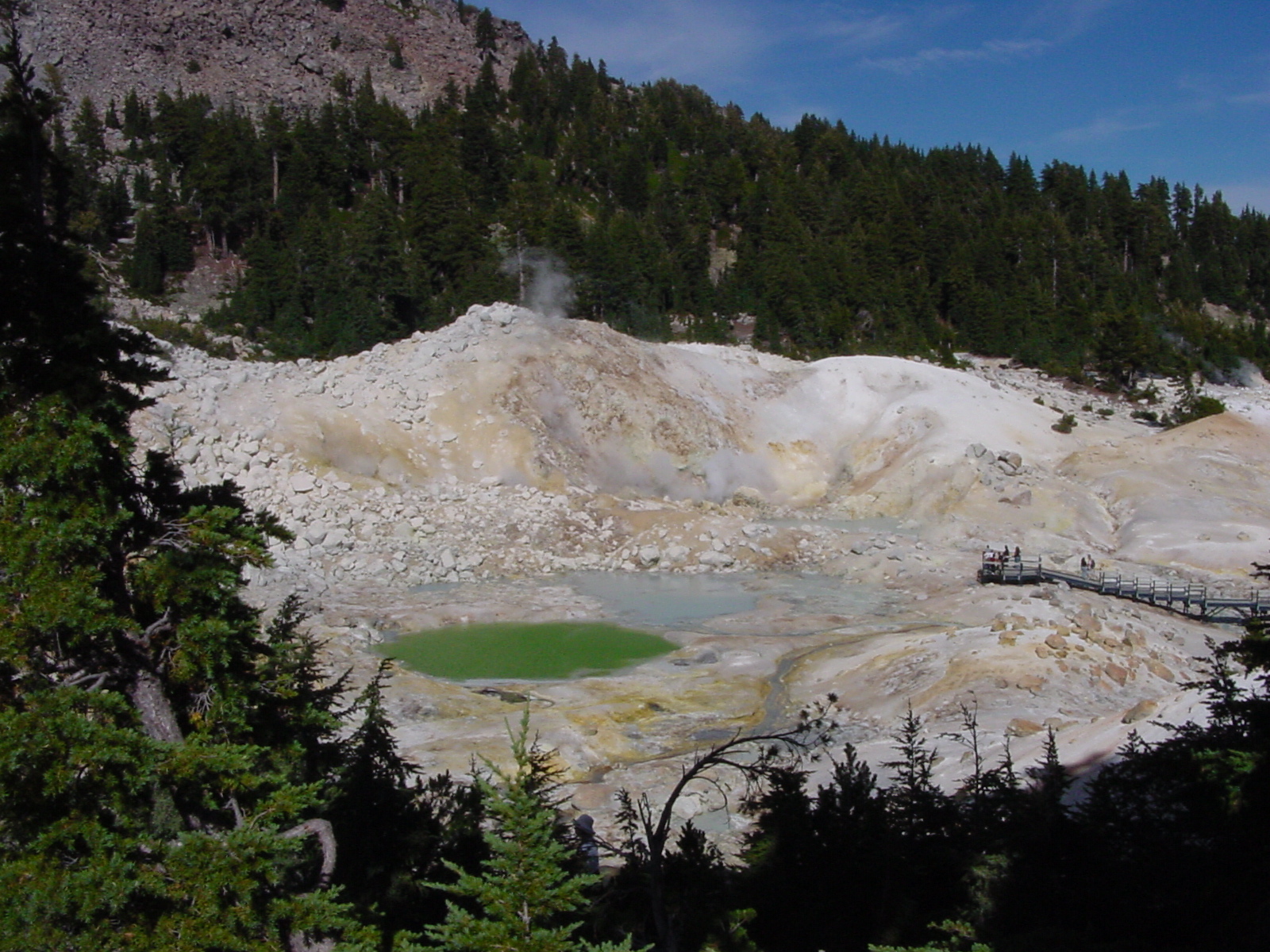
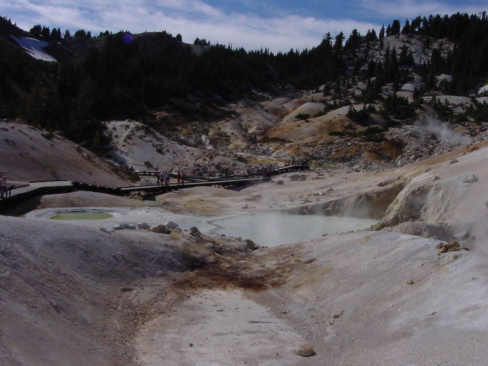
Boiling pools and mudpots in Bumpass Hell
People looking at the boiling pools
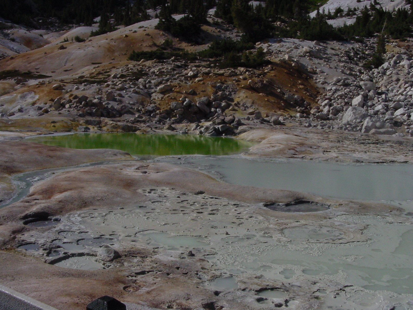
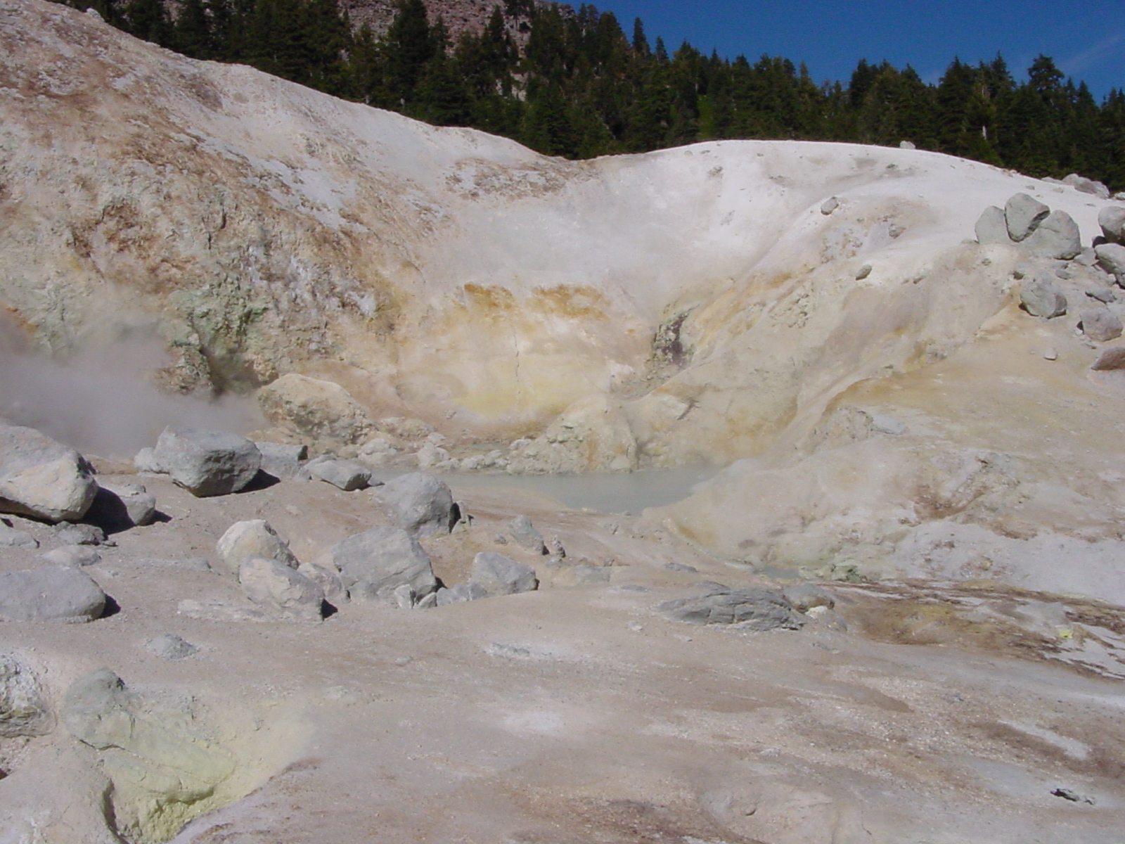
Another boiling pool
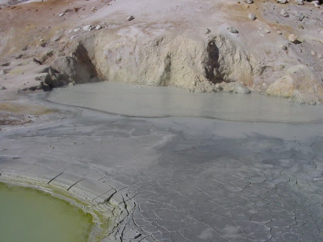
Closeup of pool showing mud cracks
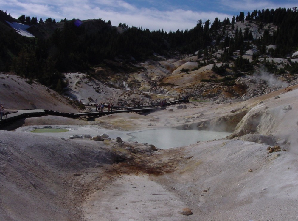
More shots of boardwalks and boiling pools
5-second movie of boiling mud pots (my camera takes very low-res movies)
5-second movie closeup of a boiling mud pot
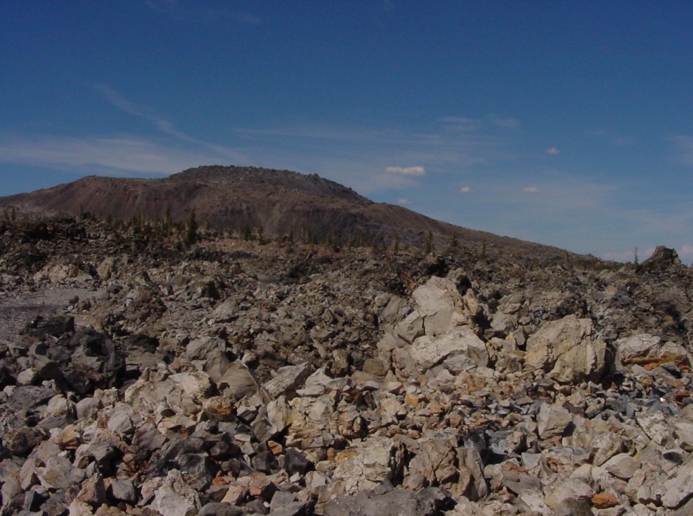
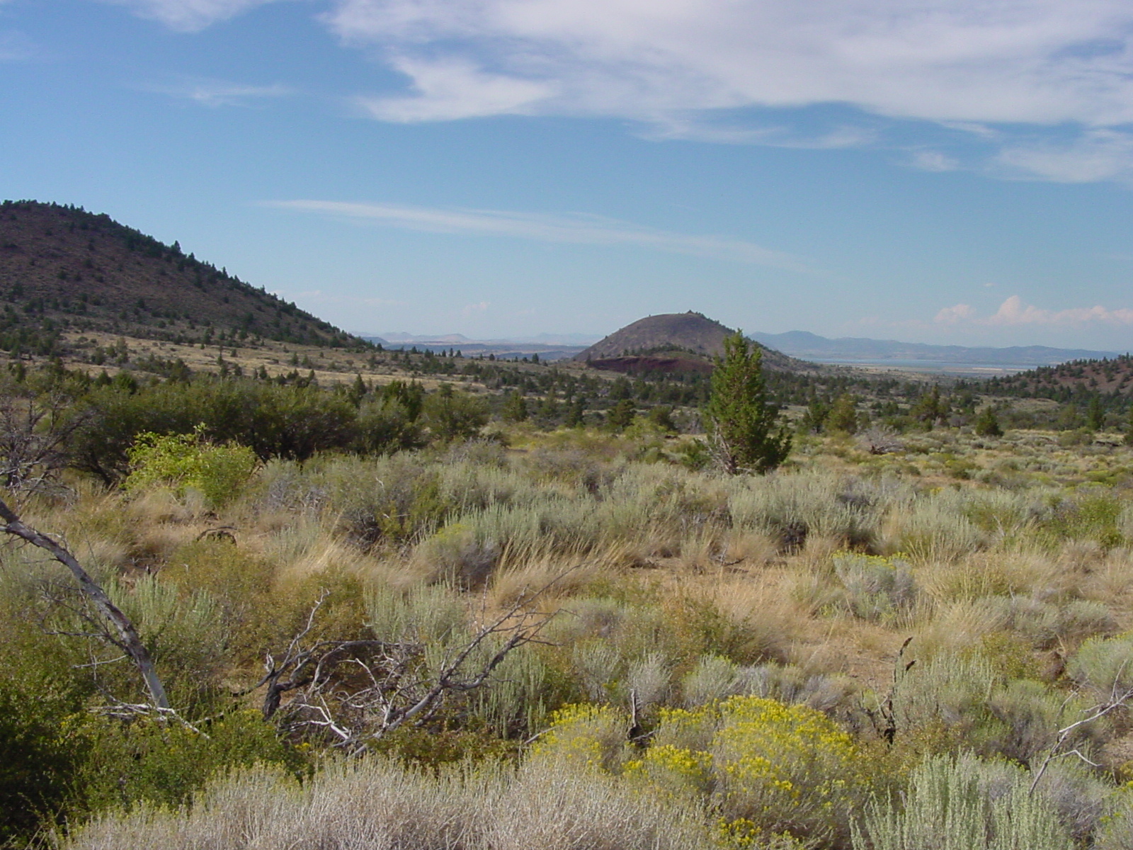
Glass Mountain, with lots of obsidian, near Medicine Lake
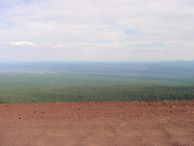
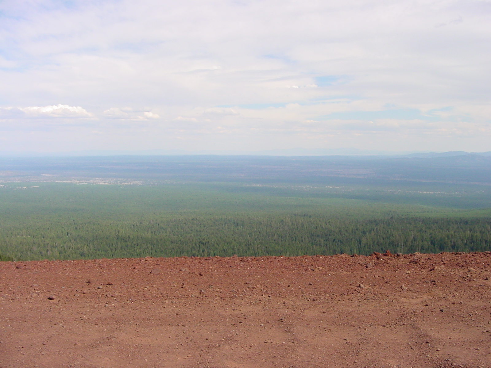
You have to drive on 3 miles of dirt forest service road to get to Glass Mountain. This is a view from the road looking through the national forest towards Lava Beds Monument
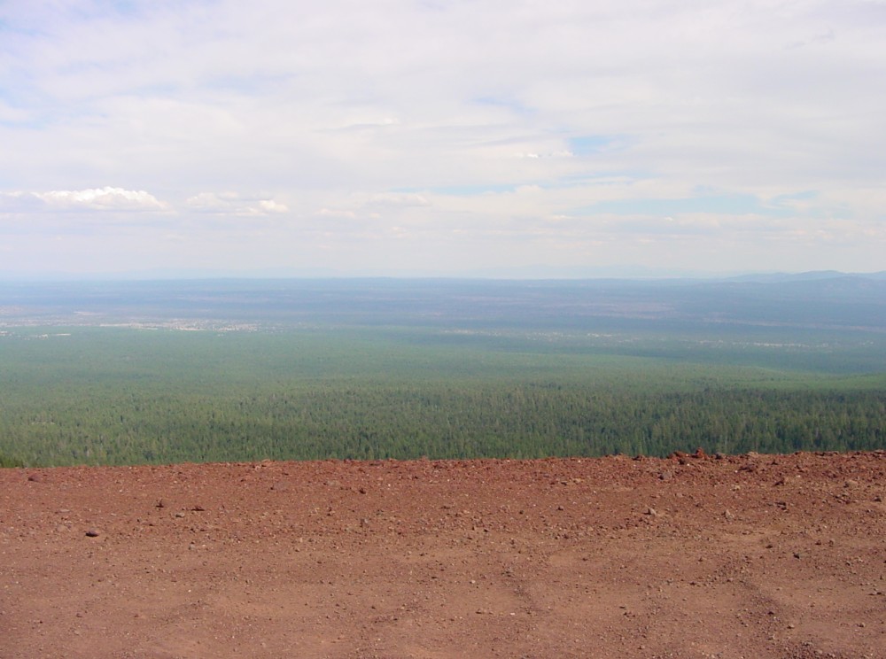
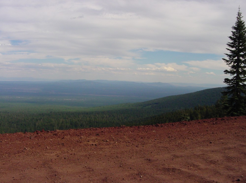
Another shot, trying to get the exposure right
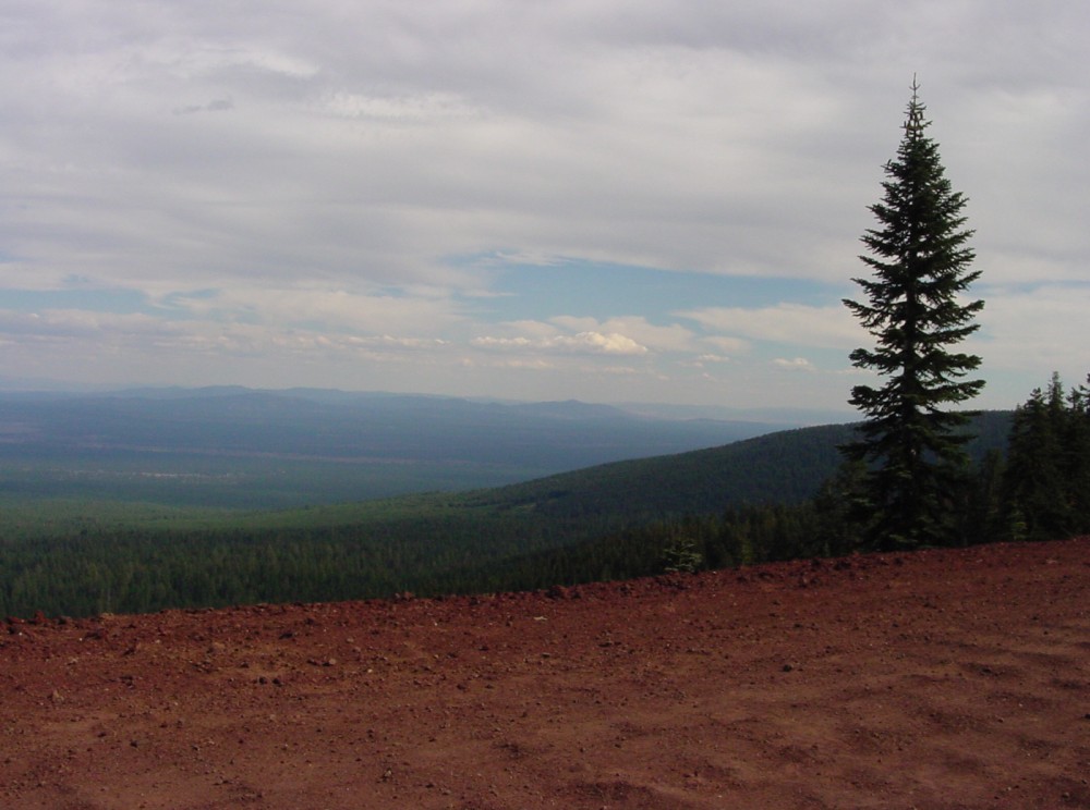
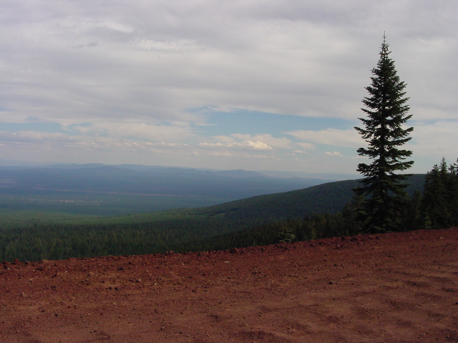
Another shot
Lava Beds National Monument
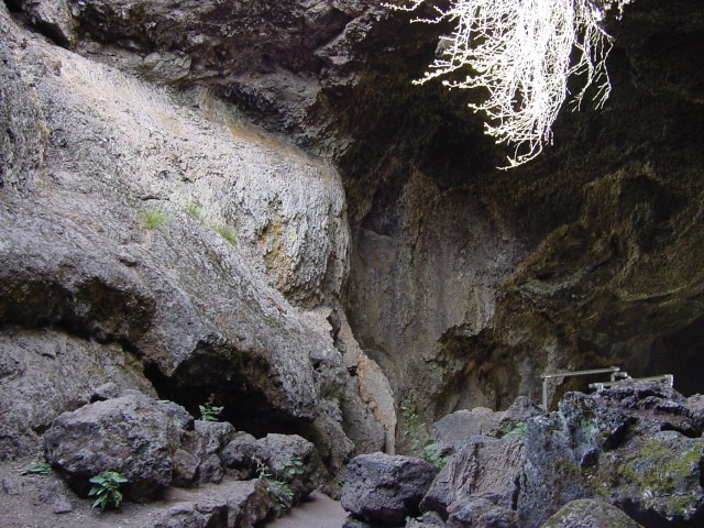
Sunshine Cave, one of the lava tube caves in Lava Beds NM
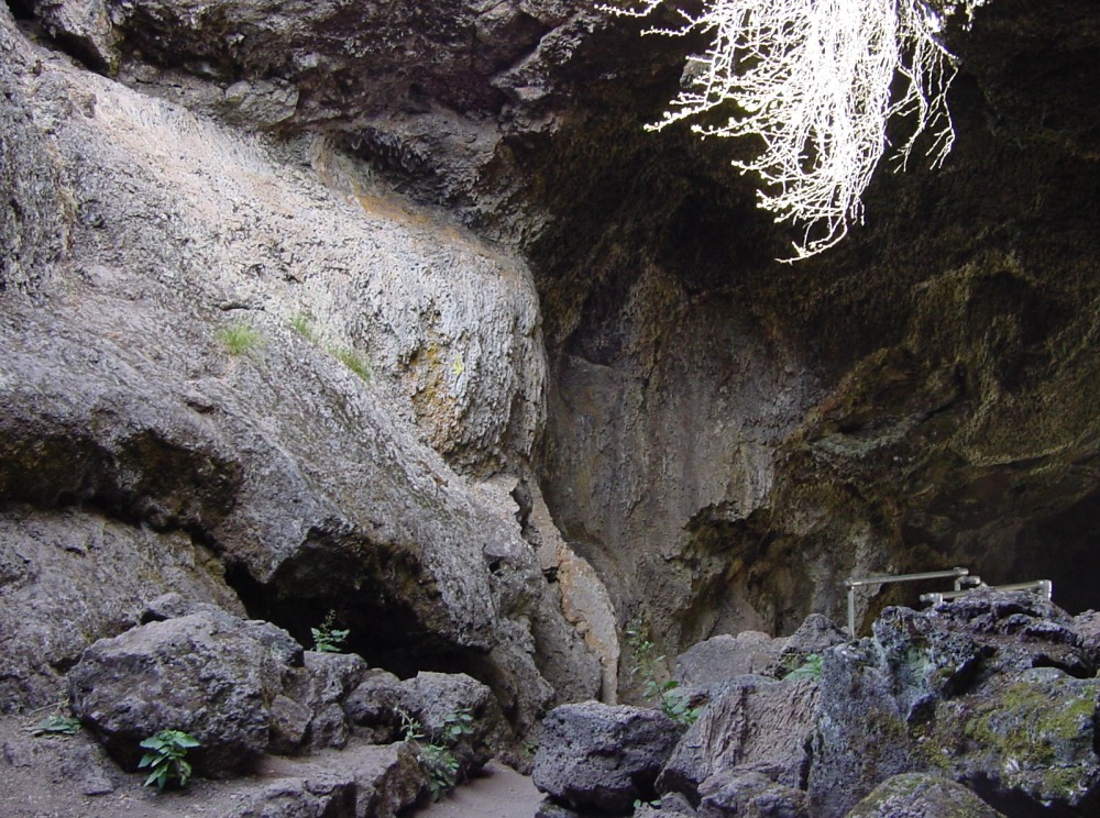
Another cave view
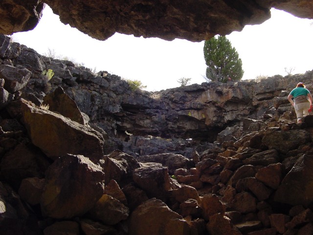
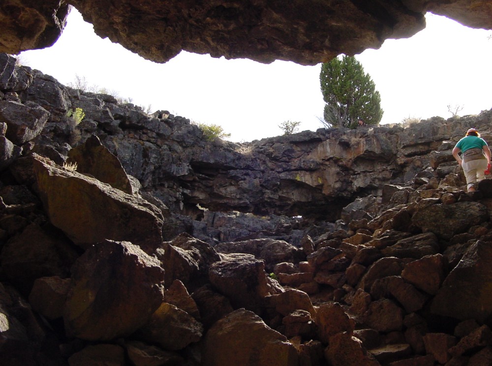
Mouth of Sentinel cave, showing natural bridge
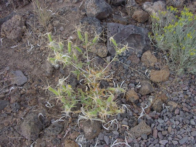
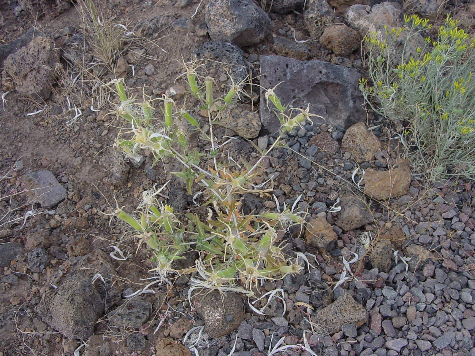
Strange plant growing in Lava Beds NM
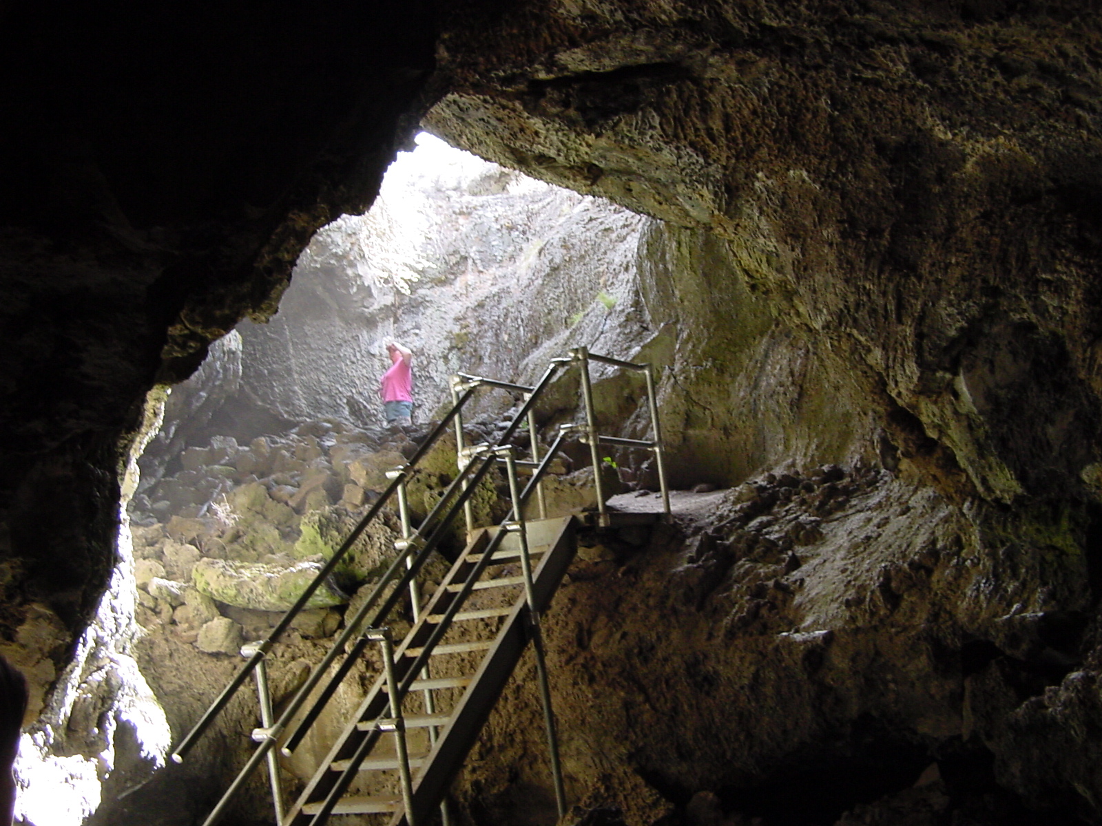
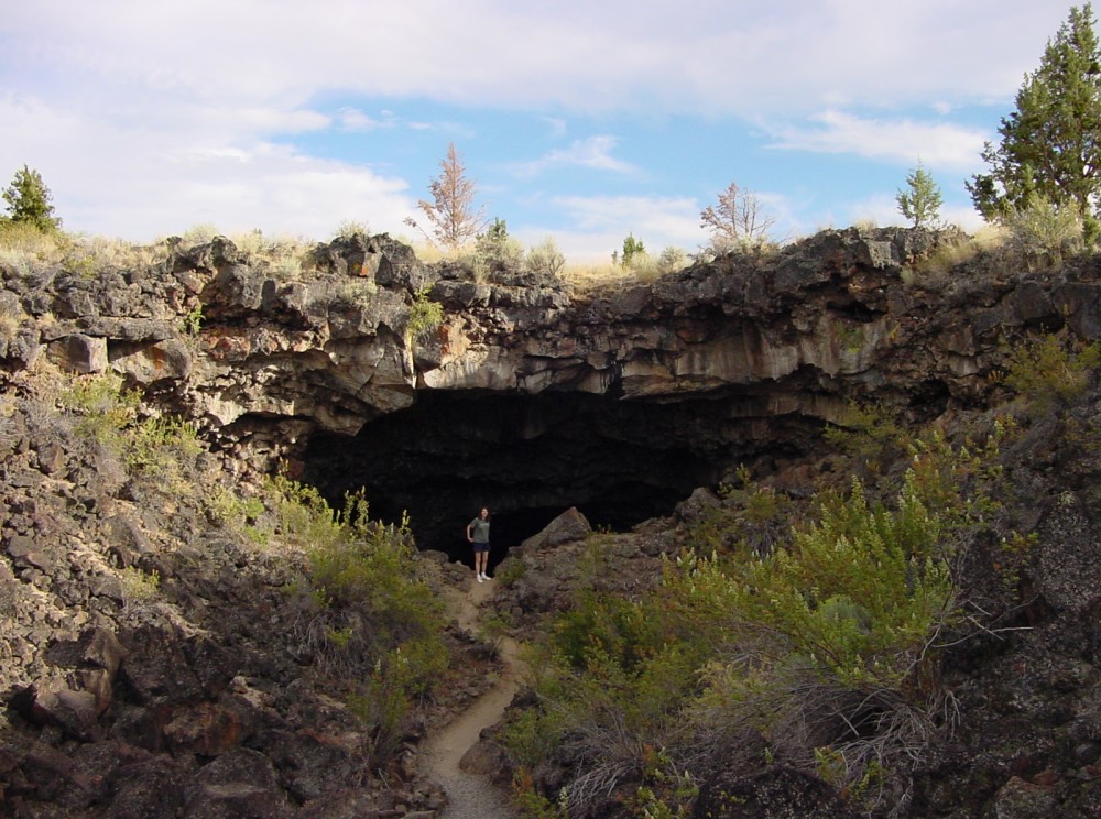
Mouth of Indian Well cave
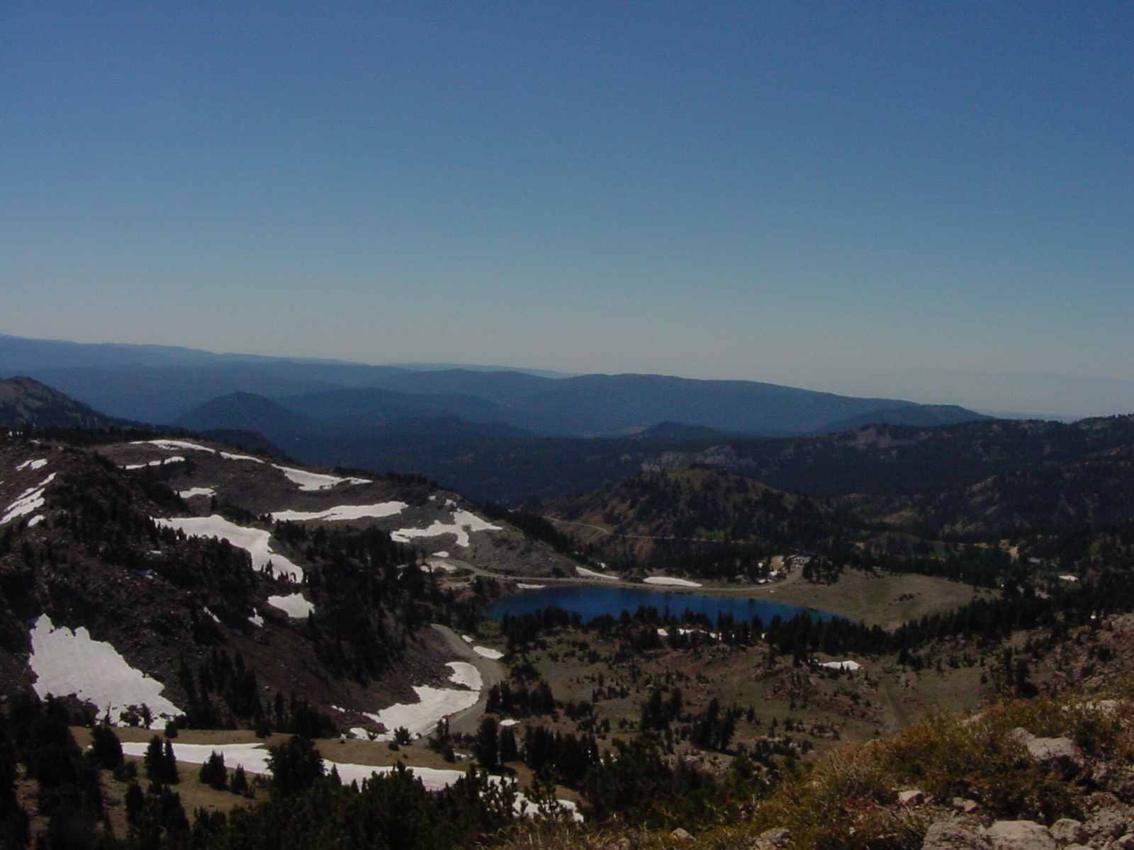
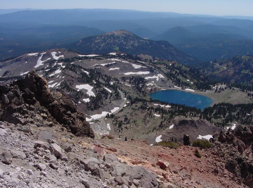
View of Lake Helen from trail up to Lassen Peak
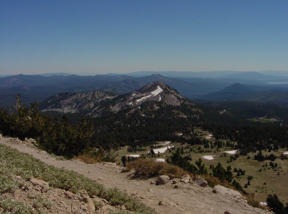
Another trail view
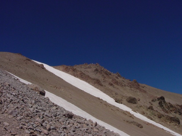
Shot of the peak (white marker, which is the monitoring station in shots below) from the trail; there is a lot of loose gravel and rocks near the top
Another shot, from the highest point on the trail where you can still see the parking lot. My camera doesn't have the resolution to pick out my car, but we could identify it by eye.
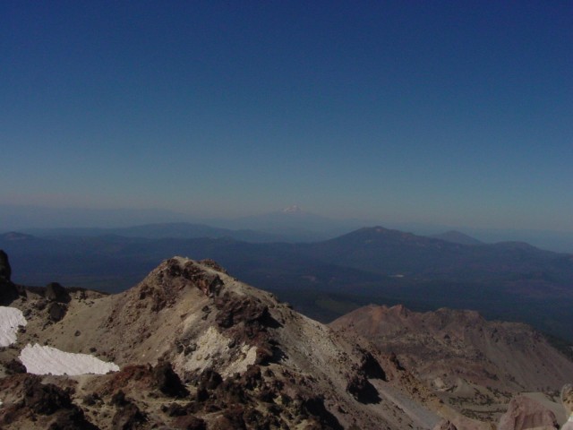
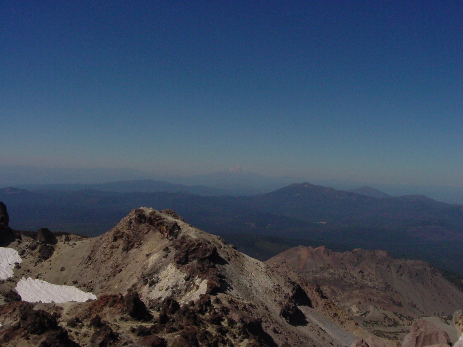
View of Mount Shasta from Lassen Peak
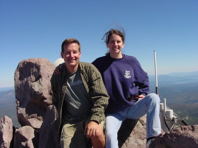
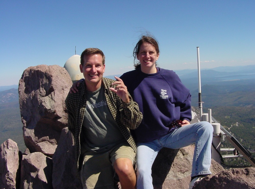
Us sitting on peak
Another shot, since I blinked in the first one
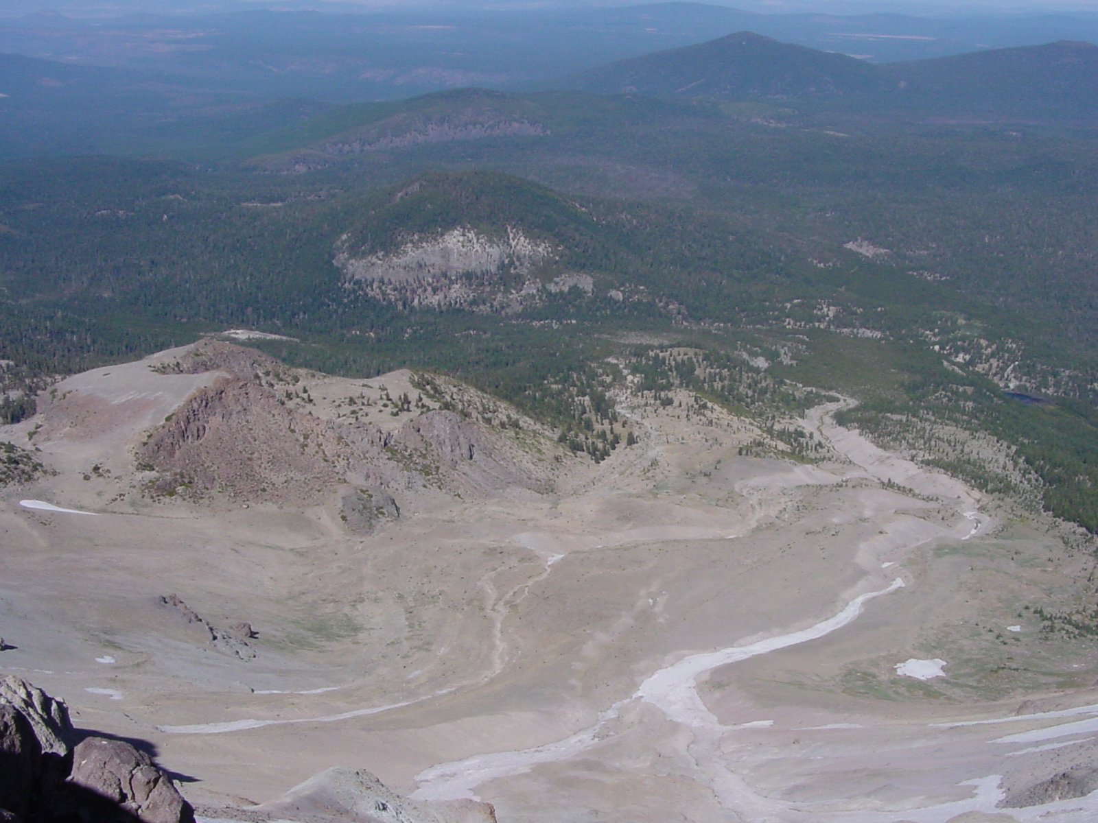
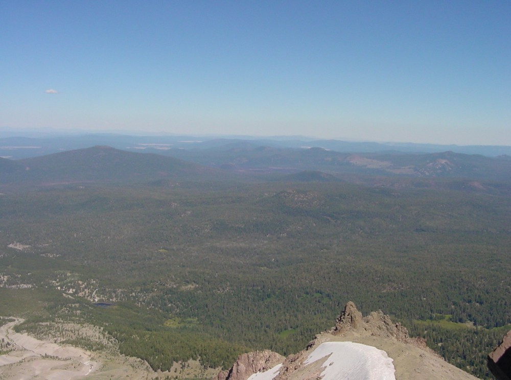
Shot of "devastated area" from 1915 eruption. From the road, it doesn't look too bad, but the missing trees are more obvious from the peak
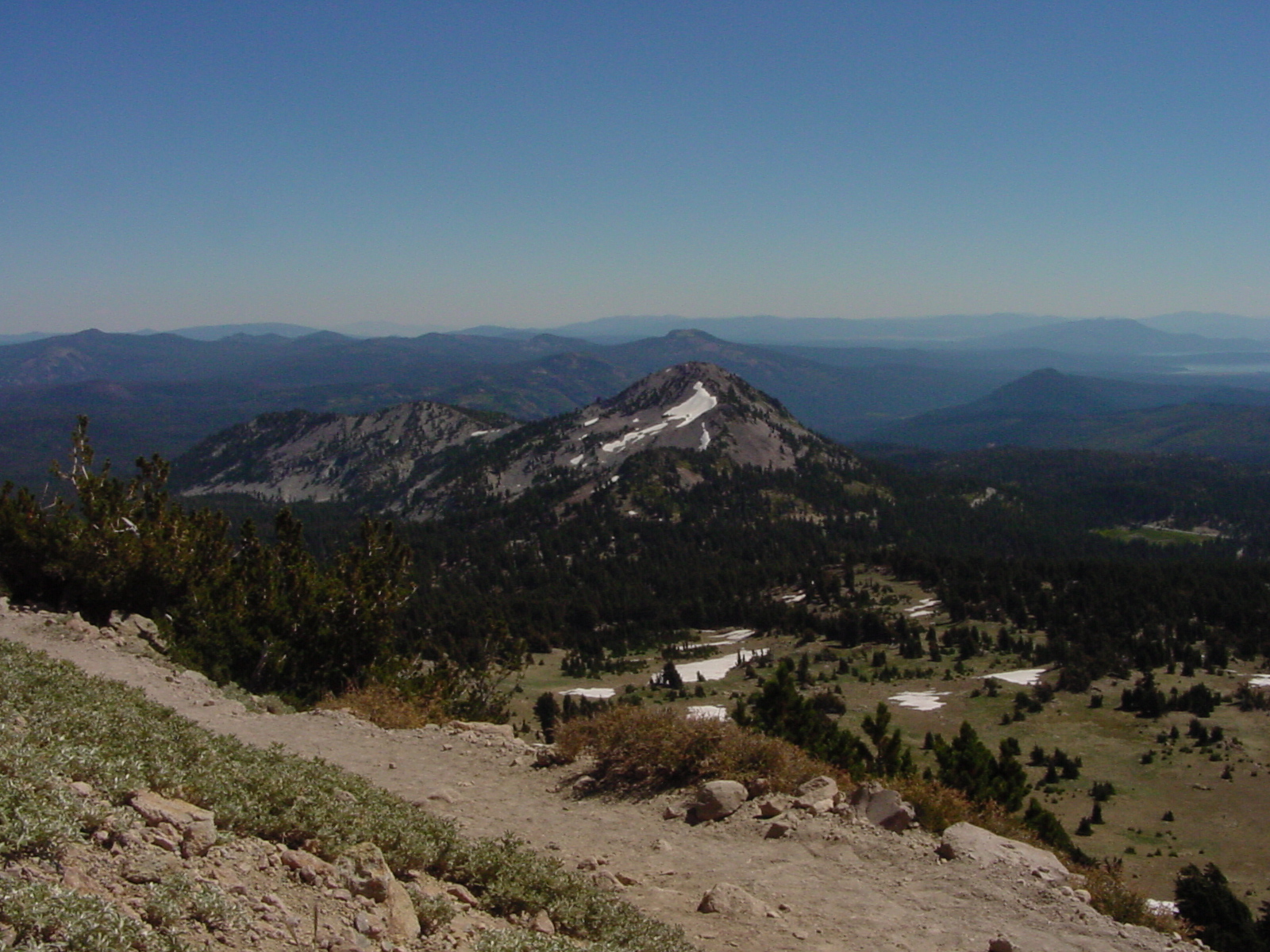
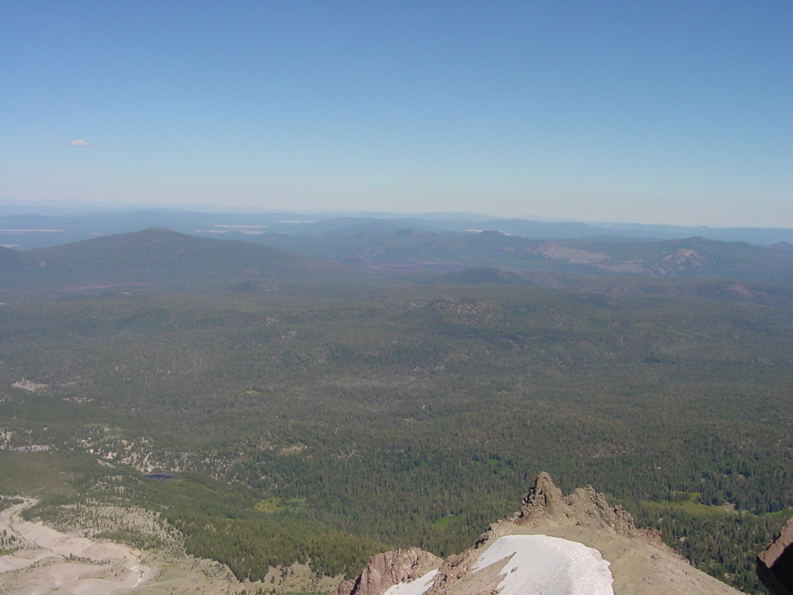
Another view from the peak
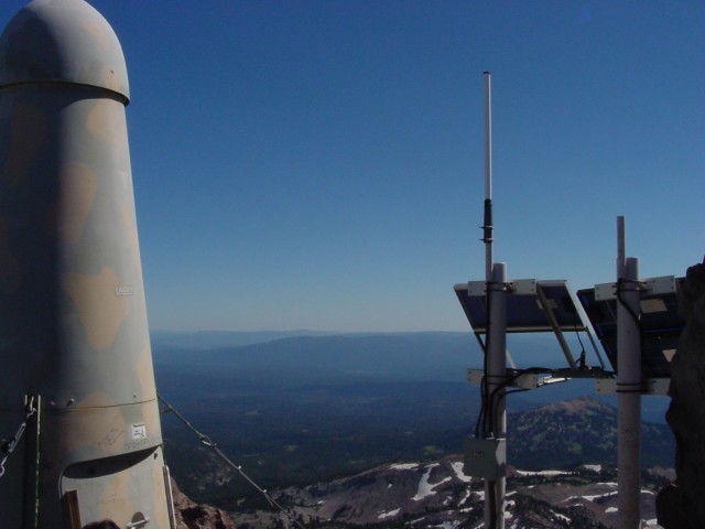
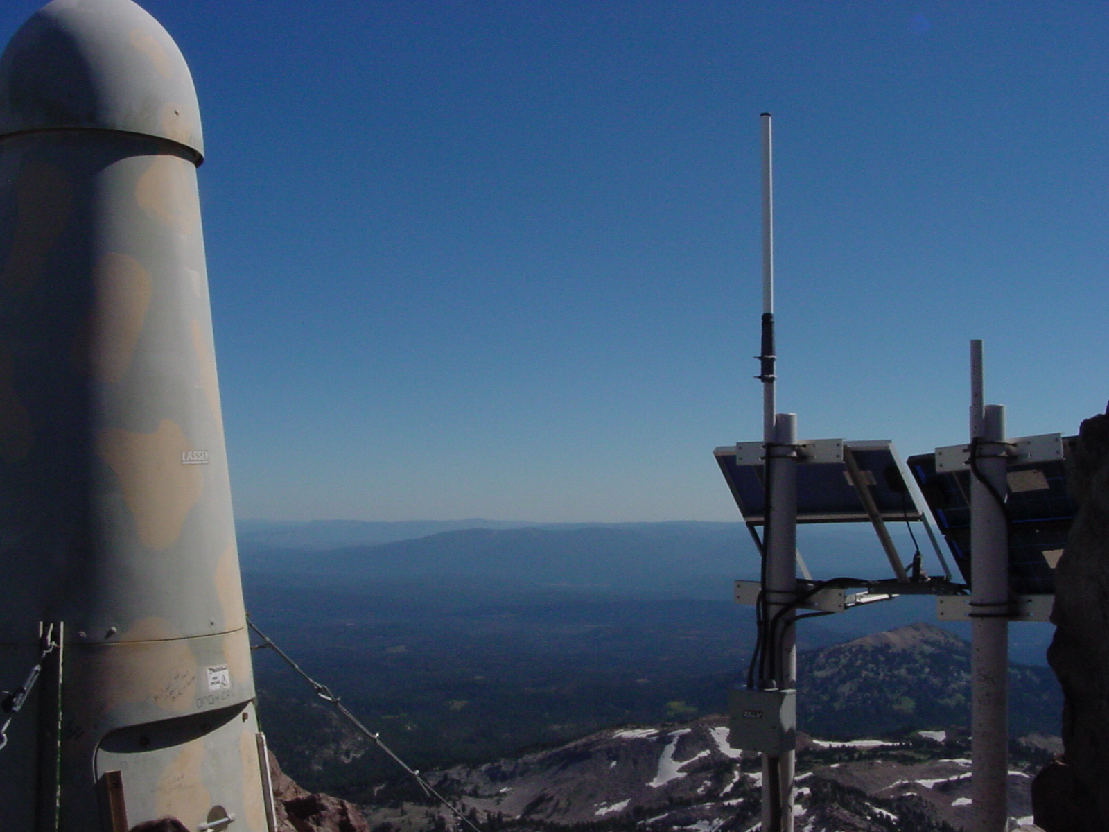
This is the solar powered monitoring station (weather+seismograph?) on the peak
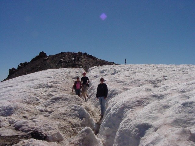
You have to walk across a snow field to get to the peak
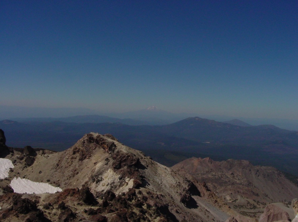
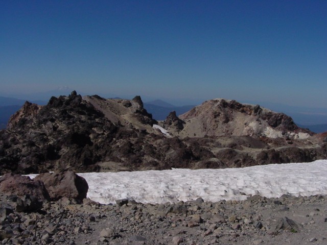
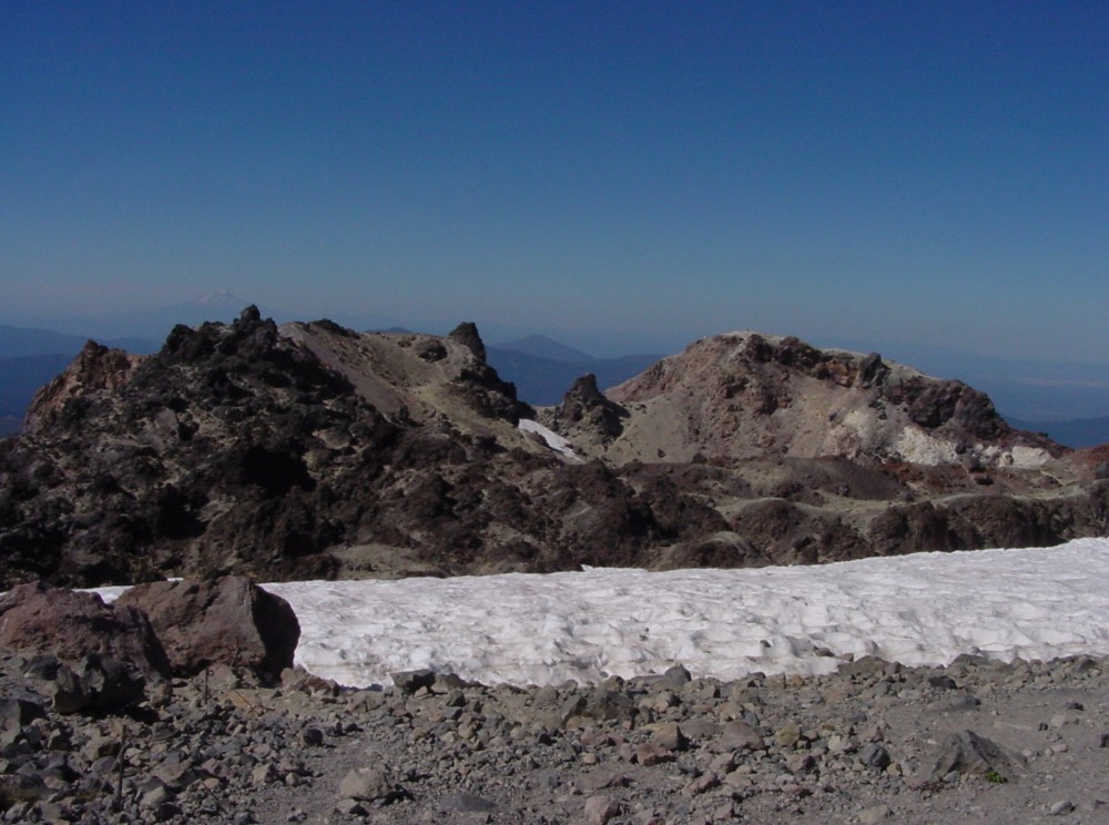
The area around the crater, filled with snow. Mount Shasta is in the background
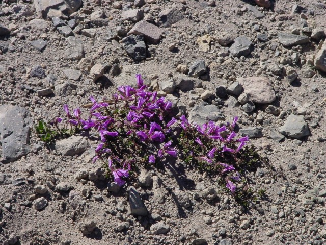
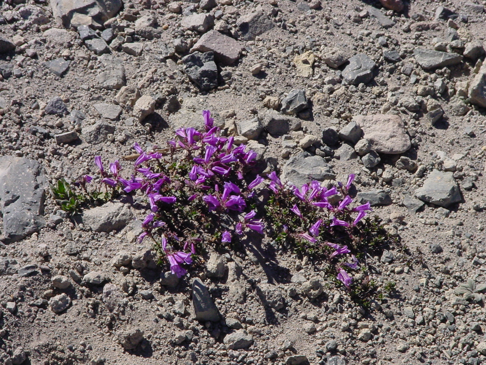
One of the plants on the peak, in a fenced off area where they won't get stepped on
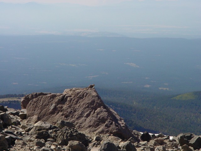
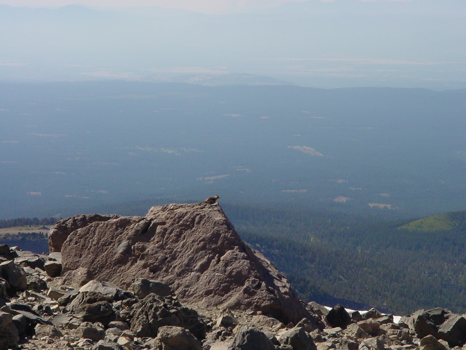
Peak Chipmunk
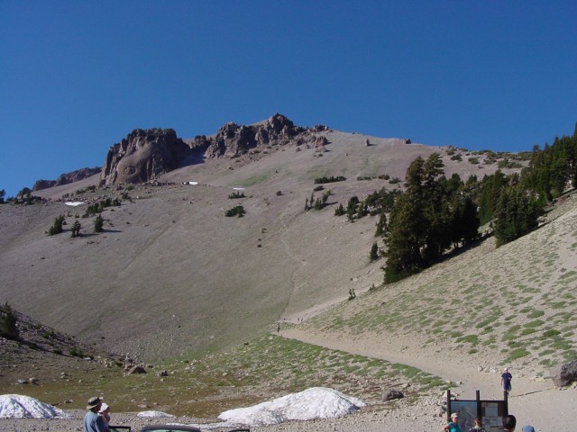
This is a view showing the trail from the bottom. It's about 2.5 miles each way, and requires 2 bottles of water per person, and about 5 hrs round trip (including stopping to rest and to eat lunch). The part of the trail that looks steep is not really part of the trail; it's where people took shortcuts as there are signs saying not to do.
A shot of the peak from Lake Helen, showing the "Vulcan Eye" rock formation. The trail to the top goes along the right slope of the peak